Map Drilldown widgets
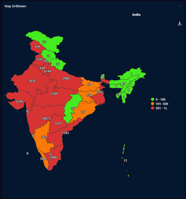
Map Drilldown widgets are used mainly to zoom-in the map through multiple hierarchy levels like Country to State to City to District using GeoJSON or TopoJSON data. However, the widget can also be used to show data for a single level as illustrated below.
Maps are populated with data from GeoJSON datasets. The information can be updated in response to events, either those at the dashboard level or those triggered by other widgets. Likewise, it is possible for an event to be triggered when the user clicks a feature on the map, which in turn can cause other widgets to be updated.
Each dataset supplies the data for a particular level on the map. For example, you could have a state-level dataset that contains a numeric value for each state, each indicated by a colored area on the map as in the screenshot above. When you click on a state, the country map is replaced by a state map which shows the regions within that state. Also, each of the level titles are displayed at the top while drilling down to the next levels if the breadcrumbs are enabled.
Note
Only one dataset is to be used which contains the entire data for all the drilldown levels.
Having added a map drilldown widget to a dashboard, you need to perform some configuration of general settings and the dataset that is used to populate the widget with data, and also some further configuration that is specific to map drilldown widgets.