Regions
A region in the Quantela platform is a geographical area bounded by a polygon that is overlaid on the map. These regions can be grouped together as a region group. Region groups are created inside a root region. Each region in a region group consists of features which can be in the form of a point, line or polygon. One or more levels can be created for each region group. Also, you can create one or more regions and features, either by drawing a polygon on the map or by specifying the latitude and longitude coordinates of its vertices.
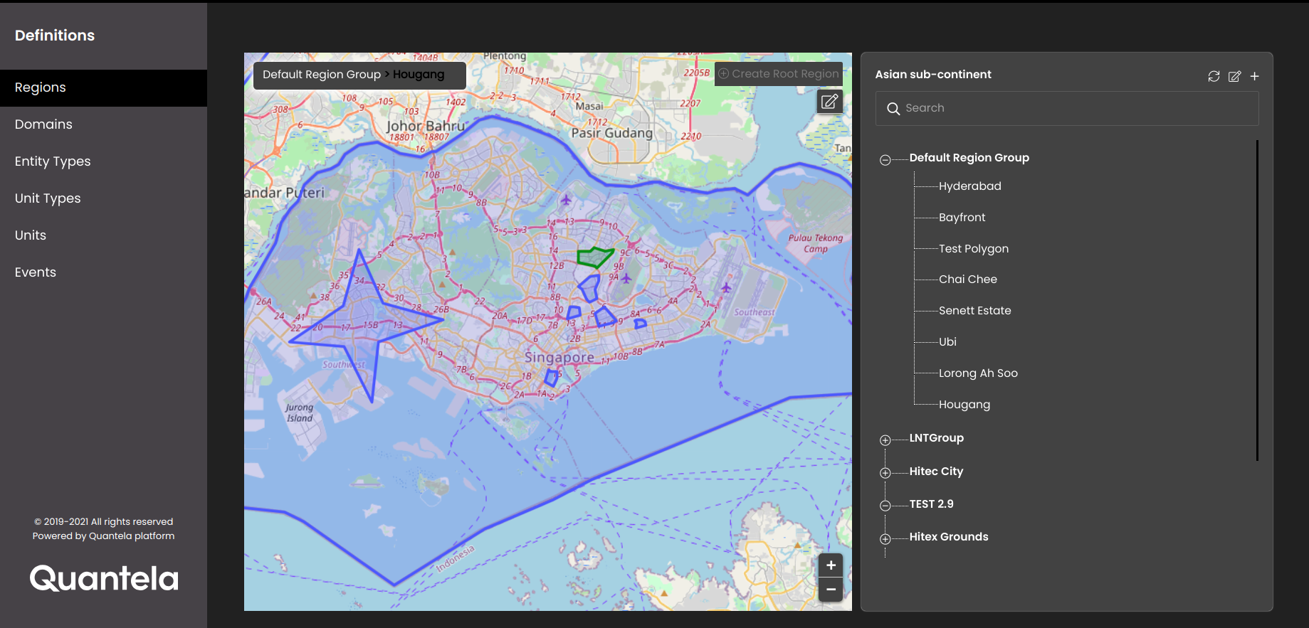
Initially, you can see at most ten regions in the region group list and on the map. If there are more than ten regions in a region group then on scrolling downwards in the list, it loads at most ten more regions which are displayed along with the previous loaded regions in the list and on the map and so on.
From the last release, we have changed the way we look at the regions. In the previous versions, we let the tenant managers create a parent region with a boundary along with one sub-region, without any hierarchy and context. However, the platform now enables creating a hierarchy for a region along with adding a context to each and every region while defining them. Along with polygons, we can also add a line (for example, a route or a road patch) and a latitude and longitude point (for example, point of interests) while defining regions. We can create different region groups and create up to 7 levels of hierarchy within each region group.
A region group also allows each region level to be labeled which adds a context to a level, such as a city, zone, a ward or an administrative building such as a hospital. This helps every user within the platform to understand how the hierarchy exists.
An example of the new region management can be illustrated as follows:
City (Polygon)
District (Polygon)
Zone A (Polygon)
Circle (Polygon)
Ward A (Polygon)
Healthcare Facility 1 (Point)
Healthcare Facility 2 ( Point)
Ward B (Polygon)
Smart Wi-Fi Patch 1 (Line)
Smart Wi-Fi Patch 2 (Line)
Zone B (Polygon)
Circle (Polygon)
Ward (Polygon)
Police Station A (Point)
Police Station B (Point)